
This story, presented at The Prairie Enthusiasts’ 2026 conference, is inspired by co-founder and author Gary Eldred's response to a question that I asked when he visited the Twin Cities during his book tour for Healing Wounds, Giving Back to Nature: What did you notice about a landscape that made you realize it was a prairie?
It’s 1961. I am eight years old and hiking north on a spring morning, following the lane to the creek. The same dusty, rutted path the cows take to and from the pasture each day. Later I discover a map, dated 1930, in the collection of the Wisconsin Archeological Society that says this very path was once an “Indian trail.” My dad’s stories about Indians camping down by the creek were not just tall tales.
Map in collection of the Wisconsin Archeological Society, 1930. Indigenous people who lived in what is now Wisconsin migrated seasonally among resources and also managed land through prescribed fire. My family’s farm (orange dot above) and adjacent lands have nut and maple trees, and a creek flowing from an artesian well, providing these resources.
Piles of stones edge the fields. The farm is on a glacial moraine and each spring, as the ground thaws, a crop of rocks surface.
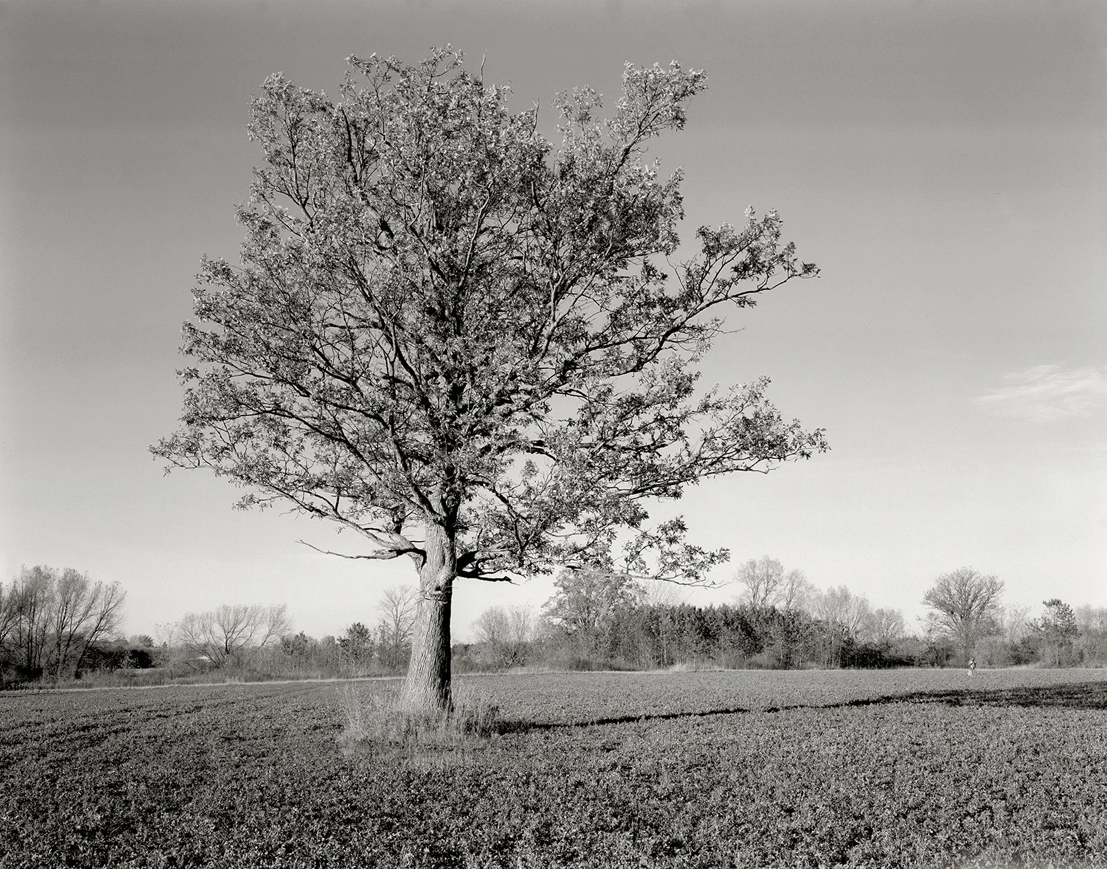
The first landmark is a single tall elm; its canopy shading the lane. I turn at the second landmark, a sprawling, scrawny apple tree with misshapen fruit; the bitter kind that out of curiosity, you only take a bite of once.
Scrawny apple tree at the entrance to the lane, 1981.
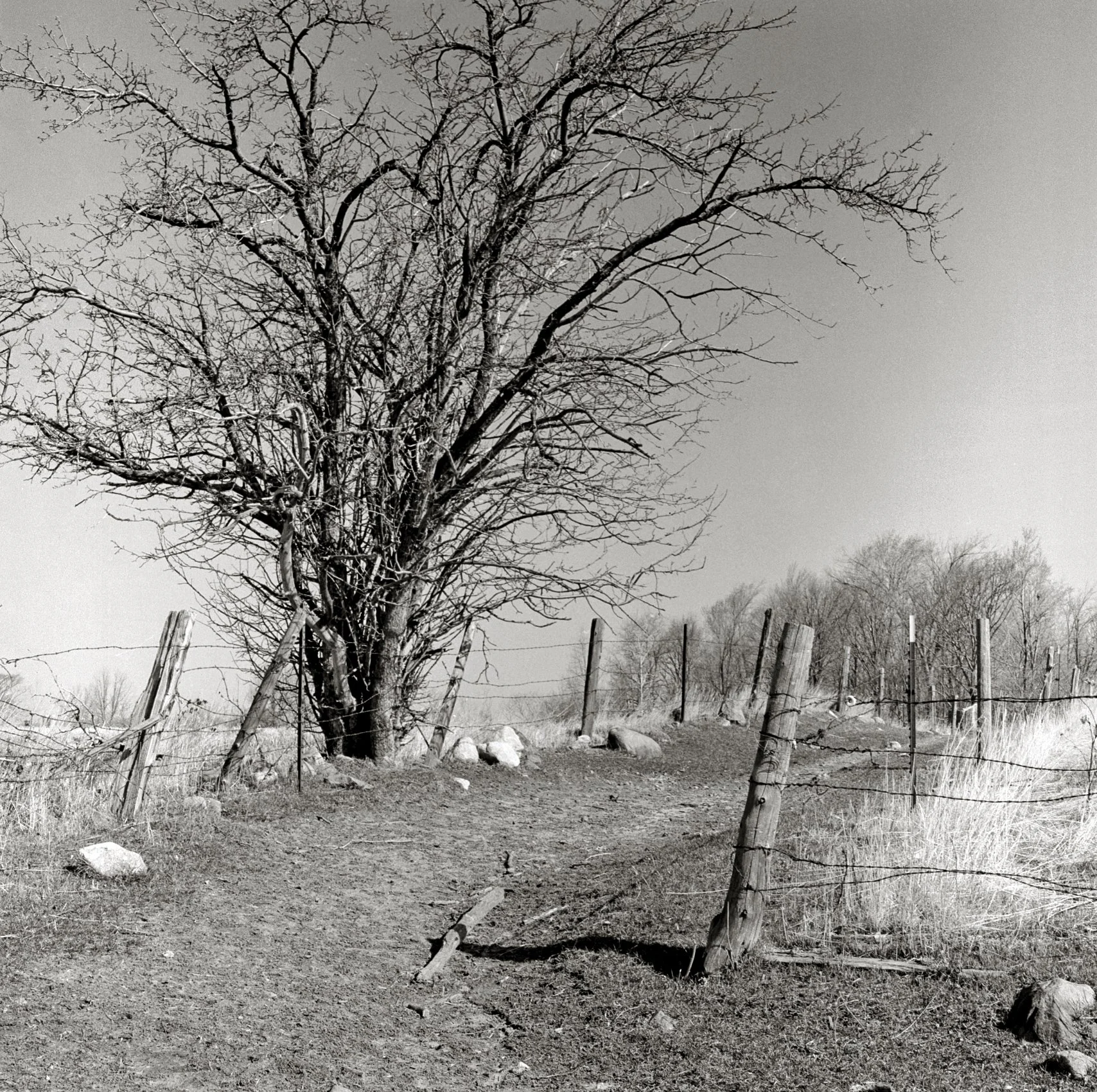
Here, the lane is bounded by barbed wire fence; more like a road. On my left, a dense woodlot on our neighbor’s property, and on the right, an open field planted with either alfalfa, hay or seed corn. A single white oak stands in the center – my dad calls it the “lunch tree.” When he is out in the fields, my dad takes a break to eat lunch in its shade and sometimes I join him.
The Lunch Tree, 2006.
I am obsessed with studying the wild density of plants at my feet and the unusual trees. This shady forest has never been completely logged or grazed. There is a grove of what my dad calls musclewood trees with their smooth gray bark and sinuous forms. Also, White oak, Red oak, Pin oak, maples, and the largest Ironwood tree I have ever seen. (They are very slow-growing trees.)
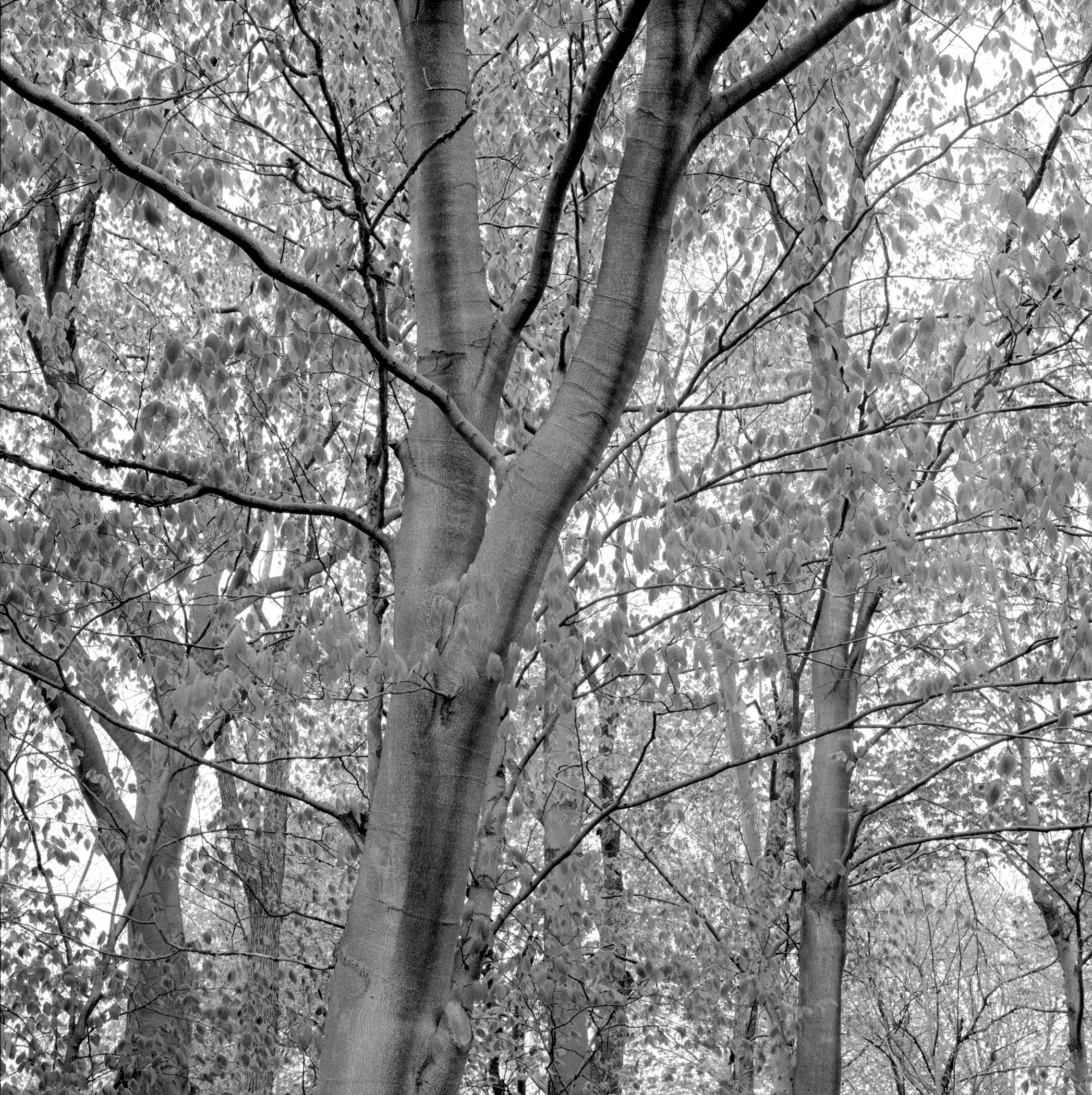
Blue beech, Carpinus caroliniana, 2003. My dad called them “musclewood trees”
On the ground: Geranium; Hepatica; Spring beauties; various ferns and sedges; and the glossy umbrella of Mayapples. Now I know their names, but on this day, I see pink flowers, white flowers and the details of greenery with the most amazing textures and shapes.
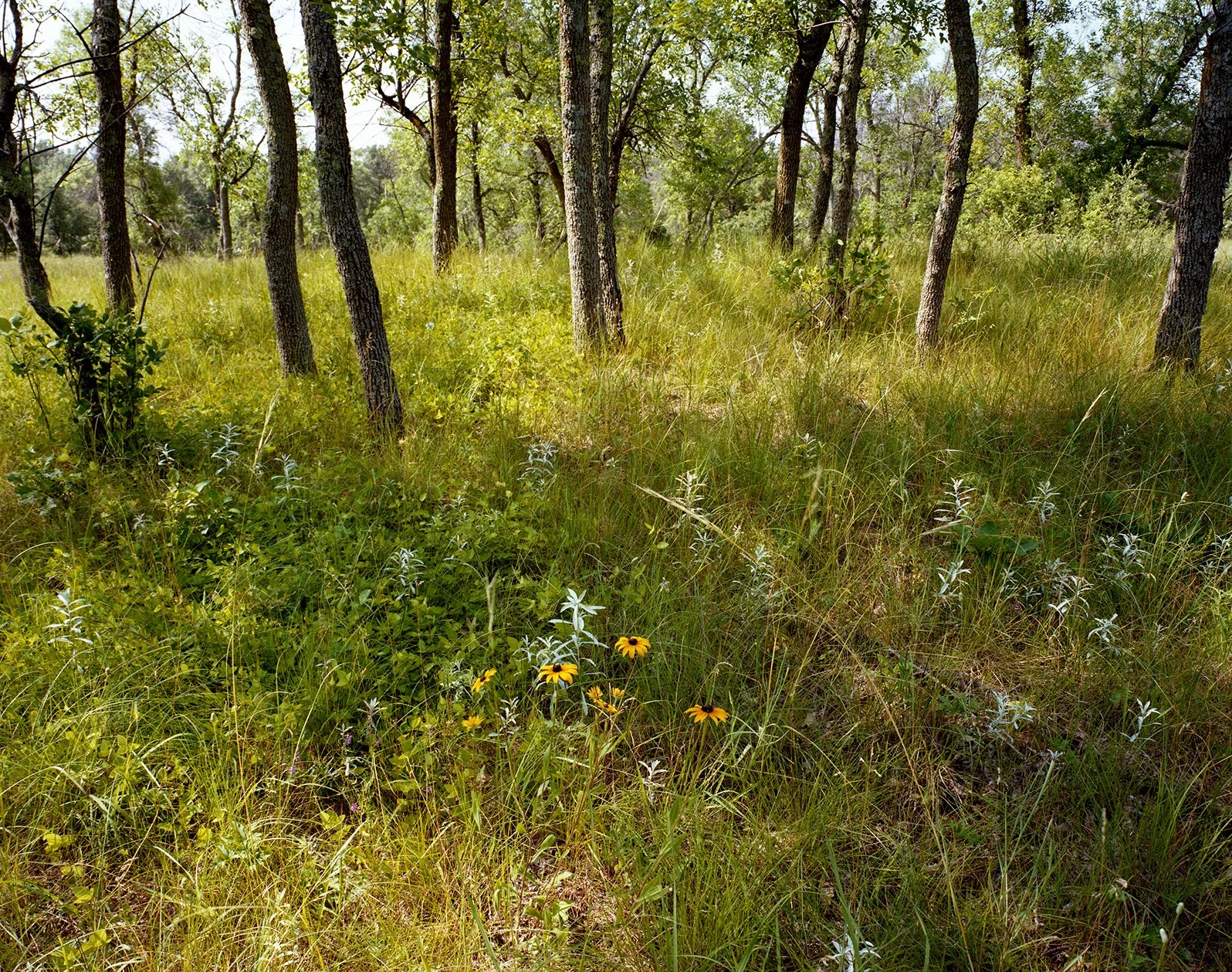
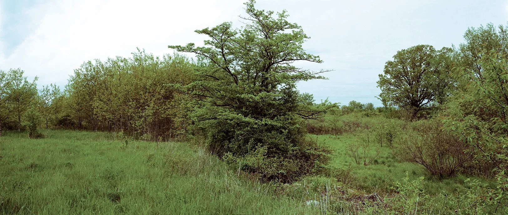
I come to an open area with few trees. Shrubs are scattered amongst tall grass that looks very different from the hay in my dad’s field.
One fall day, my eye is drawn to tall bright yellow flowers – sparks of color in the middle of this open area. What are these sunflowers doing here? Who planted them?
Helen Allison Savanna on the Anoka Sandplain north of the Twin Cities, 2015. This open field is similar to the one I remember on the farm… Who planted those yellow flowers?
I continue onward to the creek and cross it, jumping from one hump of Tussock sedge to the next. I follow winding cow paths to the northern edge of our property that is marked by a line of huge White oaks. Under their canopies – a whole other plant community. Including thickets of Hawthorn with its spikes. Birds carefully plucking its fruits.
At a bend of the creek, in a sandy outwash, sprouts a colony of the prehistoric plant Horsetail, or Scouring rush. Nearby, a very large spreading Bur oak gestures toward another patch of tall grasses.
Landscape surrounding the creek, 2004. Thornapple (Hawthorn, Crataegus) in middle foreground; large White oak in background to the right; and Tussock sedge and the creek, in between.
Aerial photograph of the Flanagan Family Farm in the 1970s
Comparison of aerial survey photographs showing the gap in the forest (just to the left of the word “My”) that was likely a prairie remnant. Once indigenous people who practiced cultural prescribed fire were removed from the land, prairies declined. Prairies require fire. The gap has since filled with hardwood forest but there’s likely prairie sod under that growth.
John Curtis’s The Vegetation of Wisconsin, An Ordination of Plant Communities, written shortly after I was born, tells me that our dairy farm, spanning the border of two counties – Outagamie and Waupaca – is within what he defines as a “tension zone” that stretches across the state, from northwest to southeast, where prairie and woodland provinces overlap. Curtis found plant communities from both provinces in this zone.
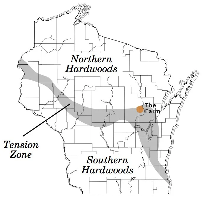
Map adapted from The Vegetation of Wisconsin, An Ordination of Plant Communities, John T. Curtis, 1959
Curiosity propelled me to explore the landscape down the lane as a child, and as an adult, to the study of landscape architecture and ecology.
Now, I have the answer my childhood question: What are these sunflowers doing here? Who planted them?